
Offer Discount
Offer Discount
₹ 20,000 ₹22,000
8D/7N
16,100 Ft
58kms
Dehradun
This is an old trip that begins in the Tonnes river valley and ends in the Yamuna waterway valley. It is called the Bali pass trek. During the storm season, when the snow melts and the pass is easy to approach from both sides, trekkers are encouraged to venture out on the Bali Pass Trek because of its breathtaking splendour. Due to the fact that the slope is not particularly steep, the pass may be reached from the Har-ki-Dun valley with more ease. This provides the trekkers with ample time to adjust to the elevation change involved. Sankri is the starting point for the walk, which then continues via Govind National Park, which is famous for the variety of animals that live there. In addition to this, it provides the finest opportunity to visit the lake at Ruinsara while in route and to explore the trail over Yamunotri that is less well travelled and leads to the Yamunotri sanctuary.
If you follow the Bali pass trek timetable, you will have a less chaotic journey. In order to take a break and explore the nearby pinnacles and passes, the peaks that are located close to the lake are an ideal location. This journey offers the opportunity to stroll through the breathtaking scenery, which is yet another outstanding feature of this excursion. There are a number of well-known pinnacles in this region, including Kalanag, Bandarpoonch West, and Ruinsara. The zone is surrounded by the Bandarpoonch range throughout its whole. Jack Gibson, a teacher at the Doon school in the late 1940s, is credited with bringing this region to the attention of the public. Bali Pass Trek is a truly remarkable experience for all adventure seekers.
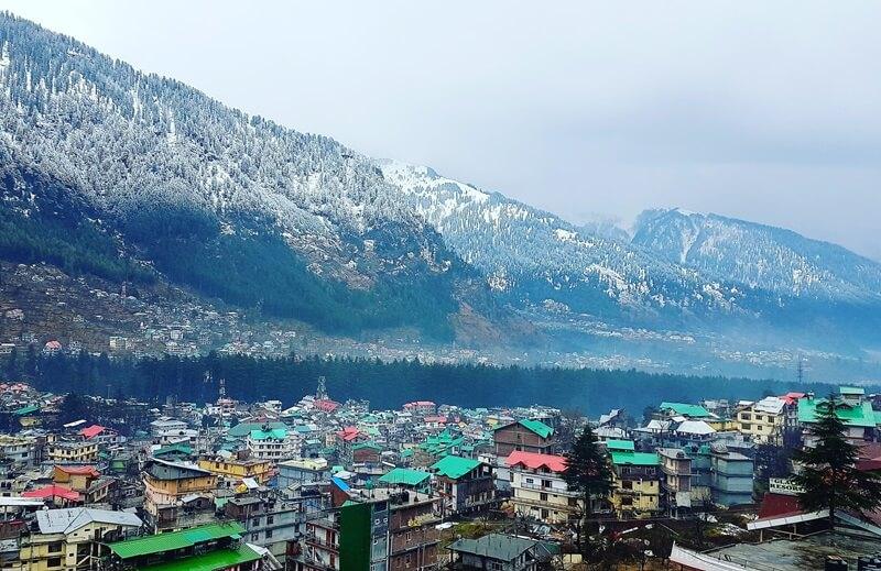
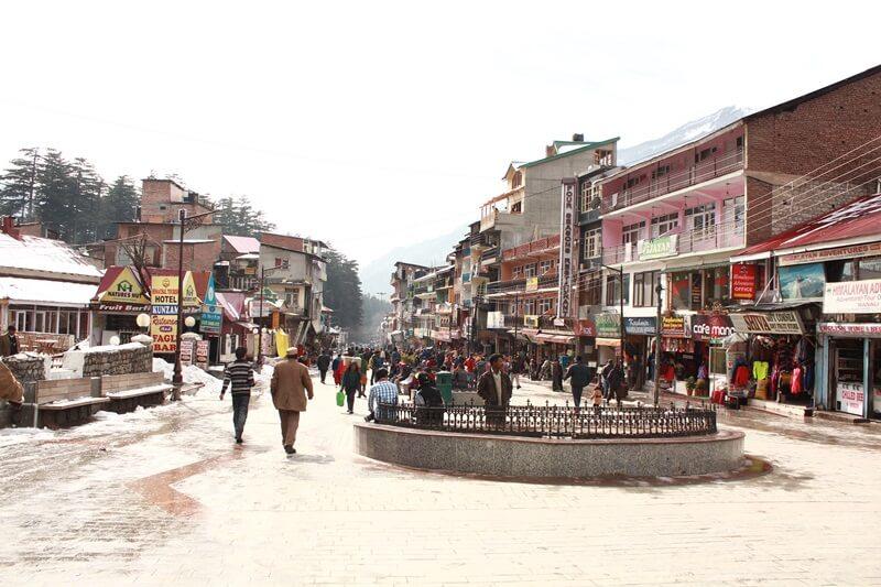
Pickup from Dehradun in the morning for a 240 km (10 hours) lengthy but beautiful trip to Sankri through Mussoorie, Barkot, Purola, Mori, and Netwar along the Tons River. Located in the Uttarkashi district, on the slopes of the Himalayas, lies the peaceful village- Sankri. In addition to several other well-known treks, like the Kedarkantha Trek, Har ki Dun, Rupin Pass, Bali Pass, and countless more, this modest community serves as the base camp for these renowned treks.
At an elevation of 6,400 feet above sea level, this community is situated within the Govind wildlife sanctuary. It is an ideal spot for those seeking a serene mountain vacation or those who are adventurous. This location has a breathtaking view of the Himalayas and a wealth of cultural heritage, thanks to its wooden construction. Spend the night in Sankri and have dinner there.
Today morning, after breakfast, In order to reach Osla from Sankri, you will have to trek roughly 26 km, during which time you will pass through verdant woods, meadows, and streams. The route is well defined and travels through picturesque settings, providing beautiful views of the mountains that are located in the surrounding area. You should make sure that you have adequate water, food, and basic hiking equipment with you on your adventure.
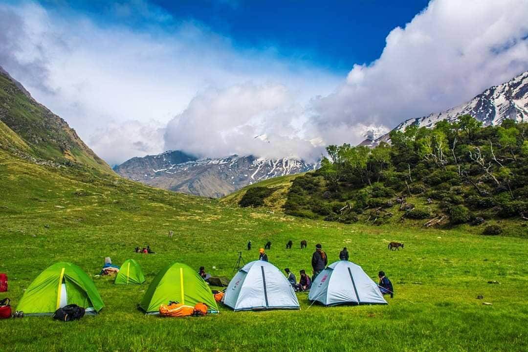
After eating breakfast, begin your journey to rainbasera, which is located 18 km away. About four to five hours will be required. It is planned to establish up camp along the banks of the Supin River. The evening and night were spent in tents.
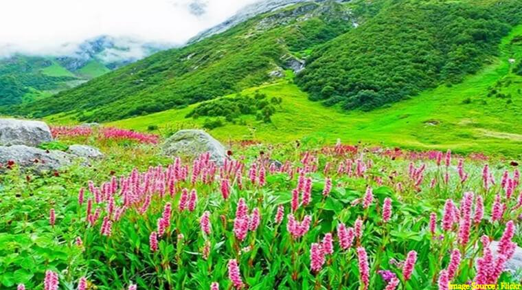
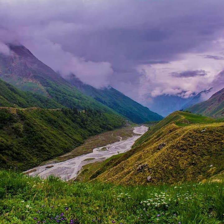
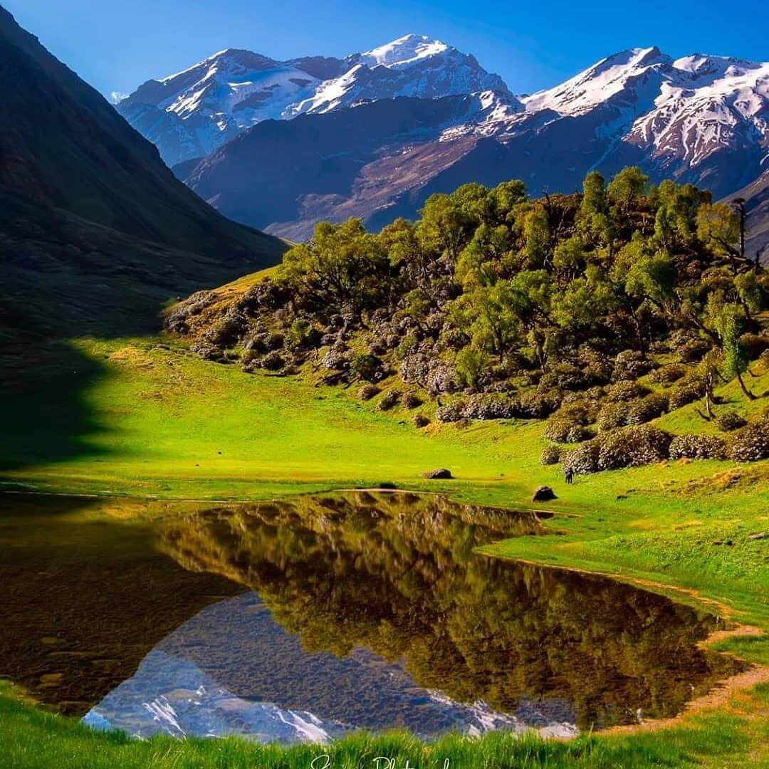
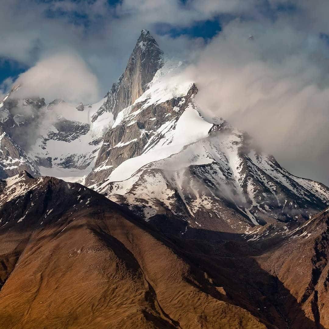
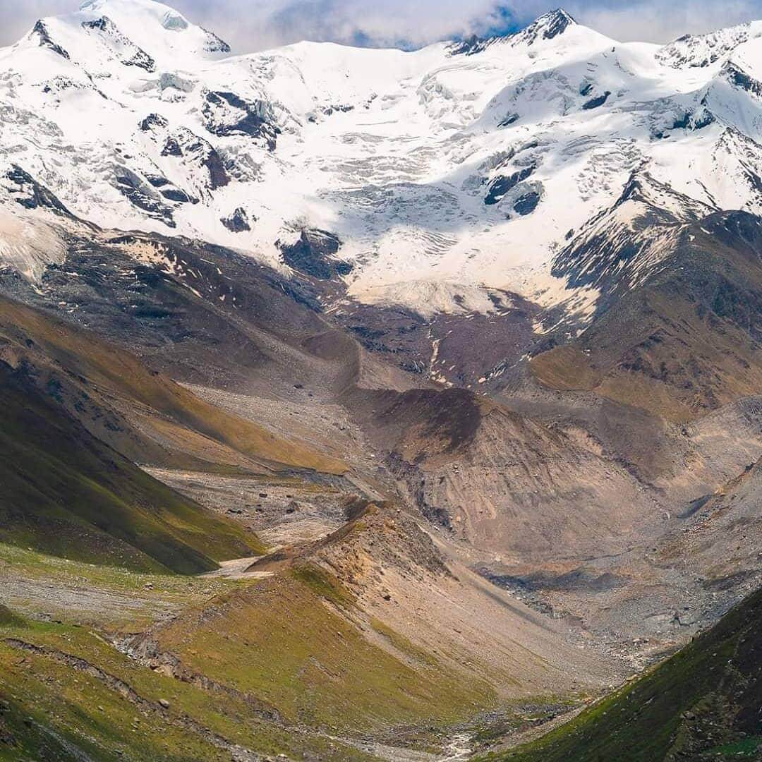
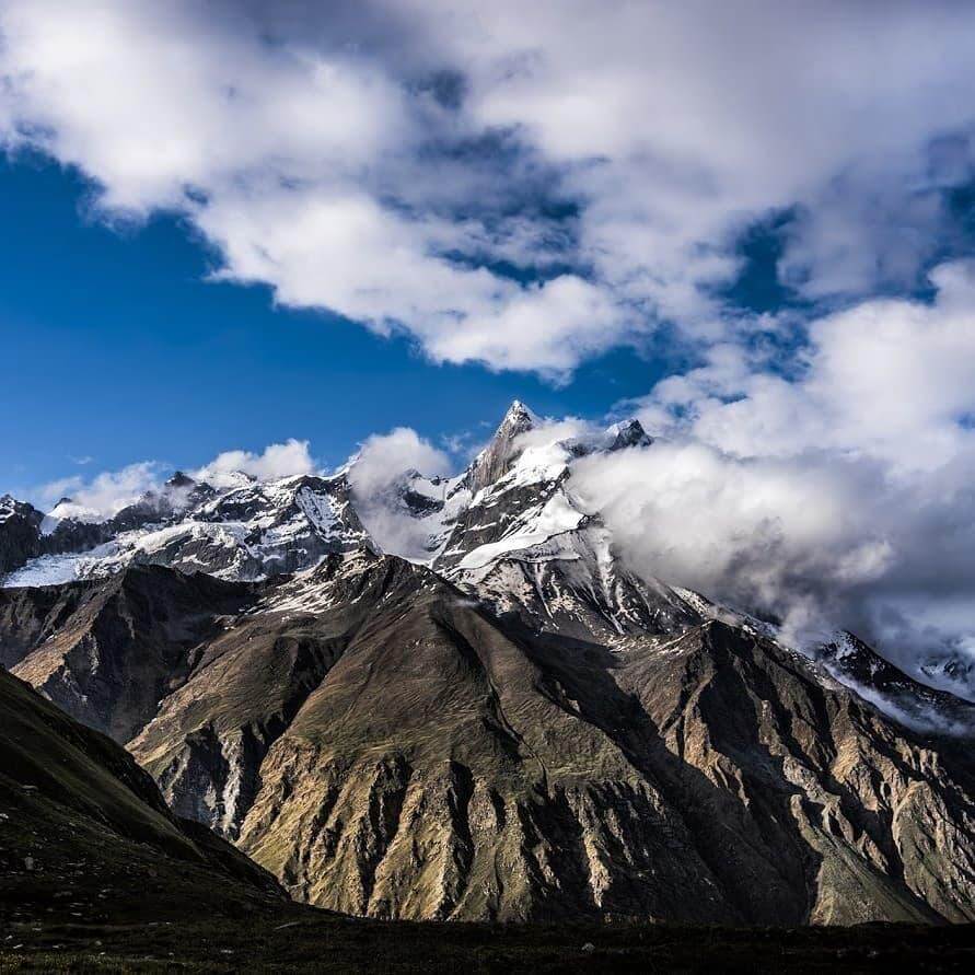
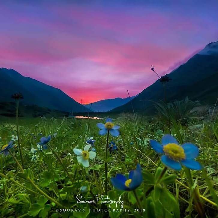
Today we will trek to ruinsara tal. It will be a path that is comparable to the one that you saw the day before. Keep walking for around three to four hours in order to reach the body of water. It is possible to reach the lake via traversing streams, trekking, or engaging in other exciting activities. This day is like something out of a dream. The location is situated between the Supin river and the Ruinsara lake, and it is bordered by meadows that are sprinkled with enormous mountains that are covered in snow.
Kala Nag, Bandarpoonch, and Dhumdhar Khai are just few of the breathtaking peaks that are part of the Bandarpoonch range that dominate the sky. You will also locate a temple in this location. Taking in the sights is as easy as going for a stroll around the neighbourhood. Aftersome time descend back to rainbasera and stay there for overnight.
It will just take you four kilometres to complete today’s trek. In the direction of the Supin river, it falls. This journey will take you through wooded areas and across rivers. There is another ascent on the trail before arriving to the subsequent meadow. From the perspective of the meadows, the higher peaks are visible. This is a sneak peek into the things that you have witnessed over the course of the past several days. It comes as a surprise that the greenery will grow less abundant in the future.
Within a kilometer’s distance is Odari. The campground is located next to a rock cave. The cave with the name Odari was the inspiration for the name. It is claimed that Bali, the brother of Lord Krishna, lived in this cave at one point in time. This cave also provides an excellent view of Swargrohini 1 and 2, which are located nearby. After lunch, Trek Leader will provide you with some training exercises that will assist you in climbing higher across the mountains.
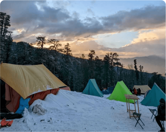
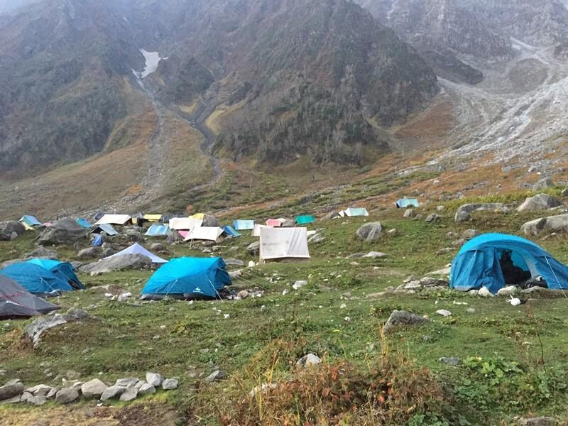
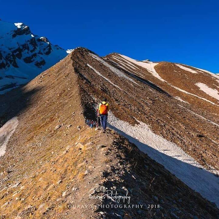
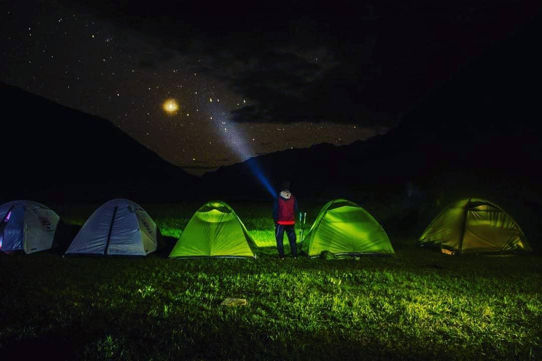
In spite of the fact that it appears to be a shorter day, it is not simple. It is going to be a tough ascent up a slope that is slanted at sixty degrees. This is a ridge trek that is fraught with scree and loose rocks. Stones that are dispersed throughout the path are another factor that contributes to the difficulty of the situation. It is important that you receive adequate water and sleep. It is imperative that you take the required measures in order to avoid major issues that may arise from height increase. The temperature typically falls below 0 degrees during the nighttime hours. Please get ready for the cold. At the end of a hard day, you may take a break in tents.
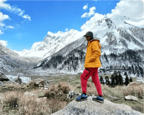
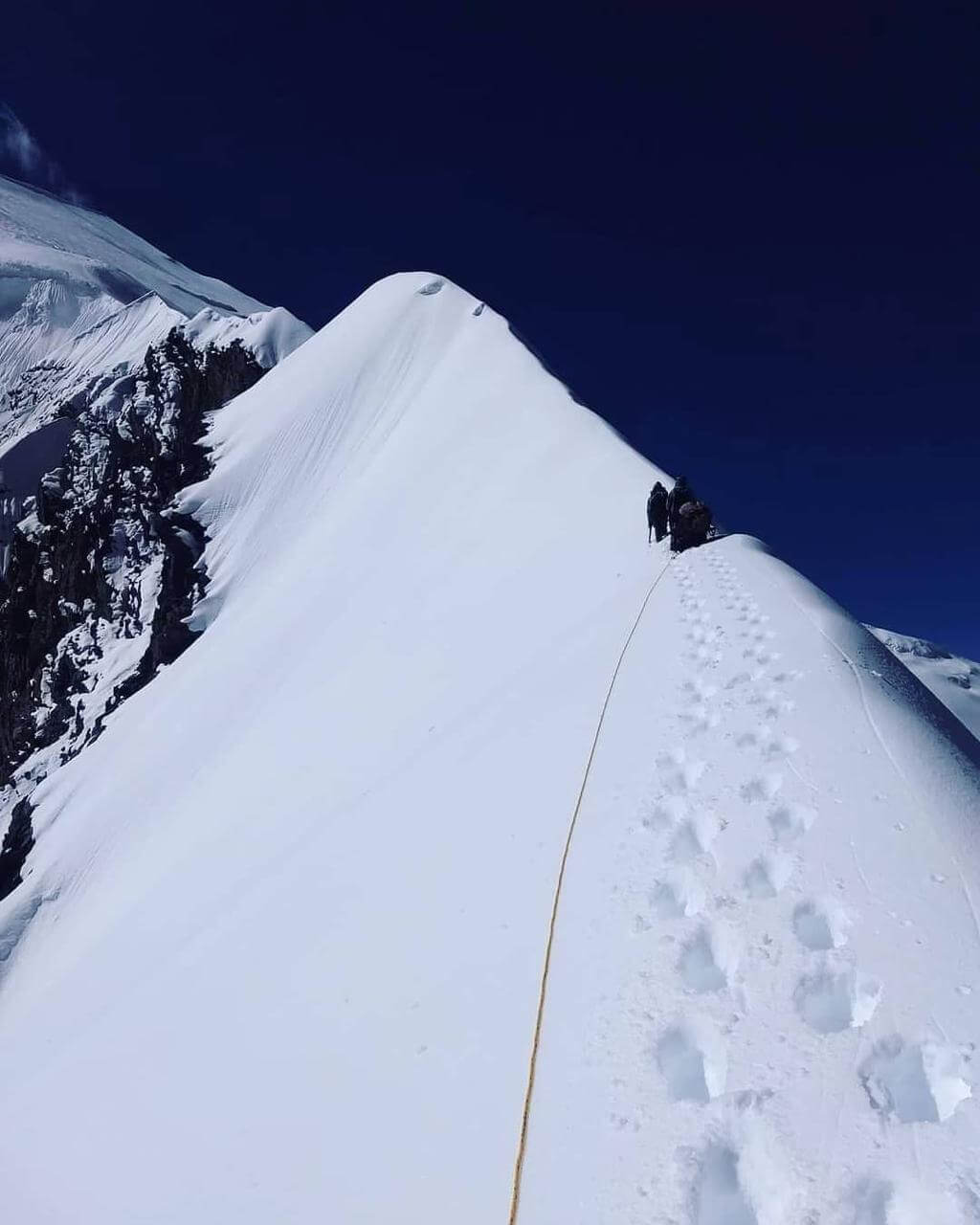
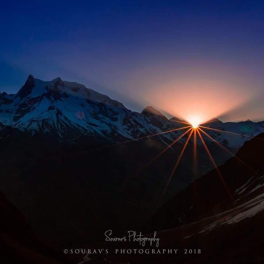
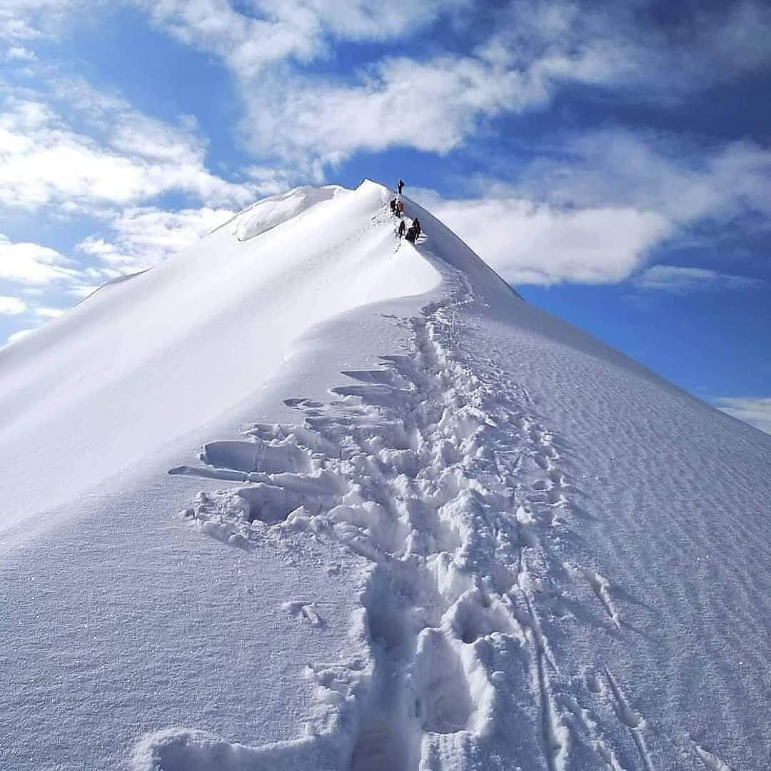
You may say that this is the peak day. Your journey to Lower Dhamni begins today with a traversal of the Bali Pass. To make it through the long day, you must eat adequately. There is a lot of snow on the steep slope up to Bali Pass. Stick on the path that your advisors have indicated. No roping up is required, however microspikes are an option. It takes two or three hours of tough climbing to reach the pass’s peak. In terms of width, it’s barely 10 by 30 feet. You will feel as if you are standing on top of the world at this point. Swargarohini and Banderpooch peaks may be seen from any angle. Looking to the right, you can make see the Yamnotri Valley. Just sit back, relax, and take it all in.
The downhill portion is when the action really starts, so be sure to keep an eye out. Following a tight trail, you will descend nearly to a right angle. Be sure you utilise the correct methods and follow your instructions. Be cautious as you make your way up from the lower Dhamni. The snow can make it hard for you. After this challenging section, relax in Upper Dhamni. The journey from Leg to Dhamni will be perplexing for you. Pay attention to your leader and stay in a group. Our journey to Lower Dhamni will commence once we have slept. Keep following your leader and team since the road ahead might be difficult. The path will be more level and obvious from this point on. Approximately 2 km of it wind through the woods. In your tents, you may relax. Staying there will be possible for you for quite some time.
Today is the last day of the trek. Today is going to be the easiest day, with a significant number of descents rather than ascents. It is a walkway that is paved with cement. Additional one to two hours are required for the ascent to Yamunotri, where you can visit, explore and worship. After few hours, we will depart for Dehradun and will reach there in the evening. After reaching Dehradun our trekking journey ends. Every trekker can plan further days accordingly.
When embarking on a trek with Global Events Travels, there are certain items you need to bring yourself. These are divided into five categories: Trekking Gear, Footwear, Clothing, Toiletries,
Utensils, and Miscellaneous. All items listed are essential, unless marked as optional.
Trekking Gear
Footwear
Toiletries
Utensils
Miscellaneous
The best time to do the Kedarkantha Trek is typically from December to April when the region experiences snowfall and the landscapes are beautifully covered in snow. However, the trek can also be done during the summer months, from April to June, when the weather is milder and the snow has melted.
The Kedarkantha Trek is considered to be of moderate difficulty. It involves trekking through varying terrain, including forests, meadows, and snow-covered trails. While it's suitable for beginners, some prior trekking experience and a reasonable level of fitness are recommended.
The Kedarkantha Trek typically takes around 5 days to complete. This includes trekking from Sankri village to the Kedarkantha summit and back, with overnight stays at various campsites along the way.
The summit of Kedarkantha Peak stands at an altitude of approximately 12,500 feet (3,800 meters) above sea level.
Accommodation during the Kedarkantha Trek typically consists of tents or guesthouses at various campsites along the route. Some operators also offer fixed tented camps with basic amenities like sleeping bags, mattresses, and meals.
Essential items to pack for the Kedarkantha Trek include appropriate clothing (layers for cold weather), trekking shoes, a sturdy backpack, water bottles, energy snacks, sunscreen, sunglasses, a hat, personal medications, and a first aid kit. It's also advisable to carry a trekking pole and a good quality sleeping bag.
While the altitude of Kedarkantha Peak is not extremely high, some trekkers may experience symptoms of altitude sickness, especially if ascending too quickly. It's important to acclimatize properly, stay hydrated, and listen to your body. If symptoms persist or worsen, it's advisable to descend to a lower altitude.
